Nothing but the Name: Britain’s Phantom Villages and the Authority of the Map
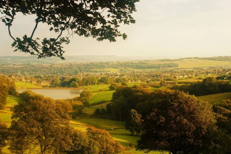
In 2008 and 2009, users of digital maps found a place called Argleton. It sat, apparently, in West Lancashire, somewhere between Ormskirk and Aughton. It had a name, a position and the quiet authority of a settlement printed among fields. Locals knew otherwise. There was no village, no cluster of roofs, no church and no road sign. Argleton existed only as a mark on a screen, and then, after sufficient curiosity and complaint, it was removed. The name is an anagram of “not large”, a coincidence that has since done much to keep the story alive. Whether that coincidence explains the error is less important than what the error produced: a place that was real enough to be looked for, and absent enough to become folklore.
The Village That Had No Ground
A deserted village is melancholy but legible. Britain has plenty of them, and most are not mysteries. They are ruins with histories, earthworks with explanatory boards, churches without congregations. Their emptiness can be mapped to plague, enclosure, coastal erosion, military requisition or the slow withdrawal of work. The phantom village is different. It has no archaeology because it never had a past. It has no boundary because it never had a parish. It has no ghost stories of its own, only the stories people invent once they notice the gap.
That is why Argleton unsettles more than an empty village. An abandoned place asks us to imagine what happened. A non-existent place asks us to imagine what a map is for. It is a name without a body, a settlement without settlement. The road that leads nowhere is a familiar Gothic device, but the road that leads to a name is stranger still. There is nothing at the end of it except the confidence that put the name there.
Trap Streets and Cartographic Jokes
Argleton was widely treated as a data anomaly, and digital maps are particularly prone to such things. They are assembled from satellite imagery, public records, commercial datasets and user submissions; when those sources disagree, a field can acquire a hamlet or a lane can acquire a phantom terrace. But paper maps have their own tradition of invented geography. Mapmakers have long used trap streets and fictitious features as copyright traps, small fictions designed to catch unauthorised copying. A rival who reproduces the invented lane has revealed where the information came from. The trap is not meant to be found by the ordinary user, and that is part of its oddity: it is a lie told for legal reasons, a falsehood with a practical function.
Britain’s cartographic uncanny is not confined to deliberate traps. Ordnance Survey sheets, county atlases and commercial road maps have all, at various times, carried errors, misplacements and names that outlived the places they described. Some are simple slips; some are ghosts of older surveys; some are jokes that escaped their makers. The result is a quiet layer of paper geography that does not quite match the ground. We tend not to notice it until we are standing in a field, holding a map that insists on a village.
Why the Paper Place Is Creepier Than the Ruin
The ruined village has gravity. Its stones pull the imagination downward into history. The phantom village has no gravity at all. It floats. It is a pure assertion, and assertions are more easily haunted than buildings. A ruin can be visited; a phantom can only be believed or disbelieved. That gives it a peculiar power over the mind. It is not a place where something happened. It is a place where nothing could have happened, yet the map says otherwise.
There is also the matter of trust. A map is not merely a picture of Britain; it is an argument about Britain. It says that this road connects, that this river bends, that this settlement is here and not there. We grant maps an authority we rarely grant to other documents. We do not usually ask a map to prove itself. We fold it, pocket it and follow it. When an invented place appears among the real ones, that authority is briefly exposed as a human arrangement — a set of decisions, errors, conventions and sometimes jokes. The map becomes text again, and text can lie.
The Screen Makes It Worse
By 2026, most of us meet maps through a screen. The paper map at least admits its limits: it is folded, printed, dated, finite. The digital map presents itself as live and complete. It updates, it searches, it speaks. It feels less like a document than a window. That makes the phantom settlement more disturbing, not less. A non-existent village on a paper map is a curiosity. A non-existent village on a phone is a small failure of the world’s operating system.
Argleton belonged to that transitional moment when digital mapping was becoming ordinary and its errors were still novel enough to be news. It has since become a minor British curiosity, repeated in lists of strange map features alongside trap streets and phantom islands. But the repetition misses the point. The interesting thing is not that a map was wrong. The interesting thing is how quickly the wrong place acquired a kind of afterlife. People looked for it. They wrote about it. They made it a story. The absence did not remain blank; it filled with narrative.
A Name That Outlives the Ground
Britain is good at places that survive their own disappearance. Names persist in parish boundaries, field names, bus stops and the speech of older residents. A hamlet can lose its pub, its chapel and its last farm and still remain on a signpost. The phantom village takes this tendency to its limit. It has no ground to lose. It is nothing but the name, and the name is enough to make us look.
That is the quiet horror of the cartographic ghost. It does not rattle chains or appear at the end of a lane. It waits in the legend. It asks whether the world is made of places or of descriptions, and whether a sufficiently confident description can conjure a place into being. Argleton was removed, as such errors usually are. But for a while it existed in the only way a phantom can: in the minds of those who trusted the map, and then in the stories of those who did not.